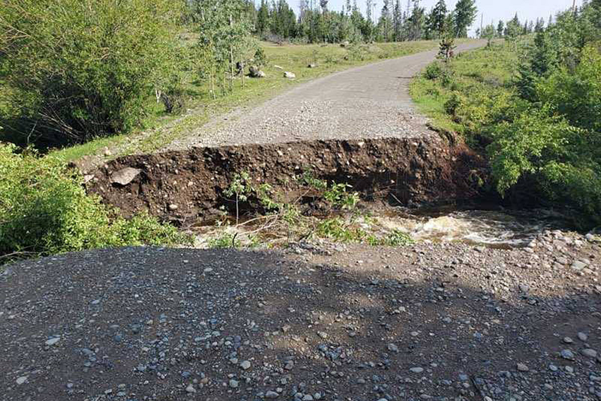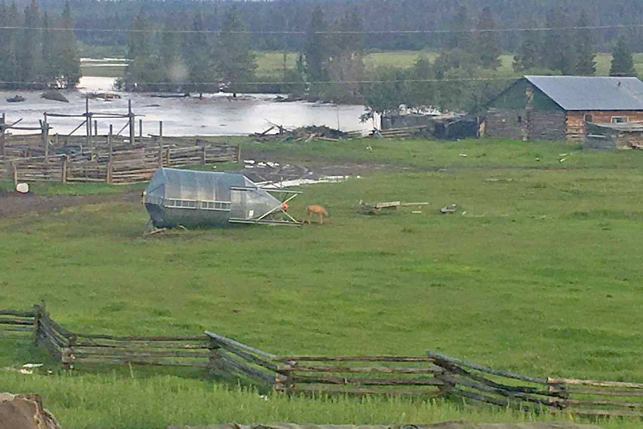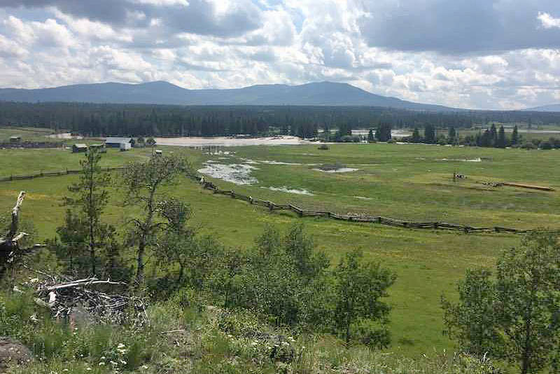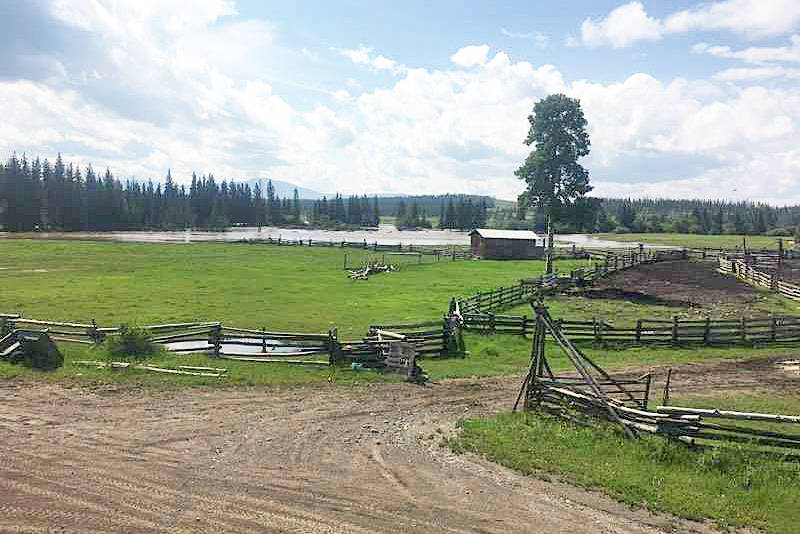
Several roads remain closed west of Williams Lake due to flooding impacting the area.
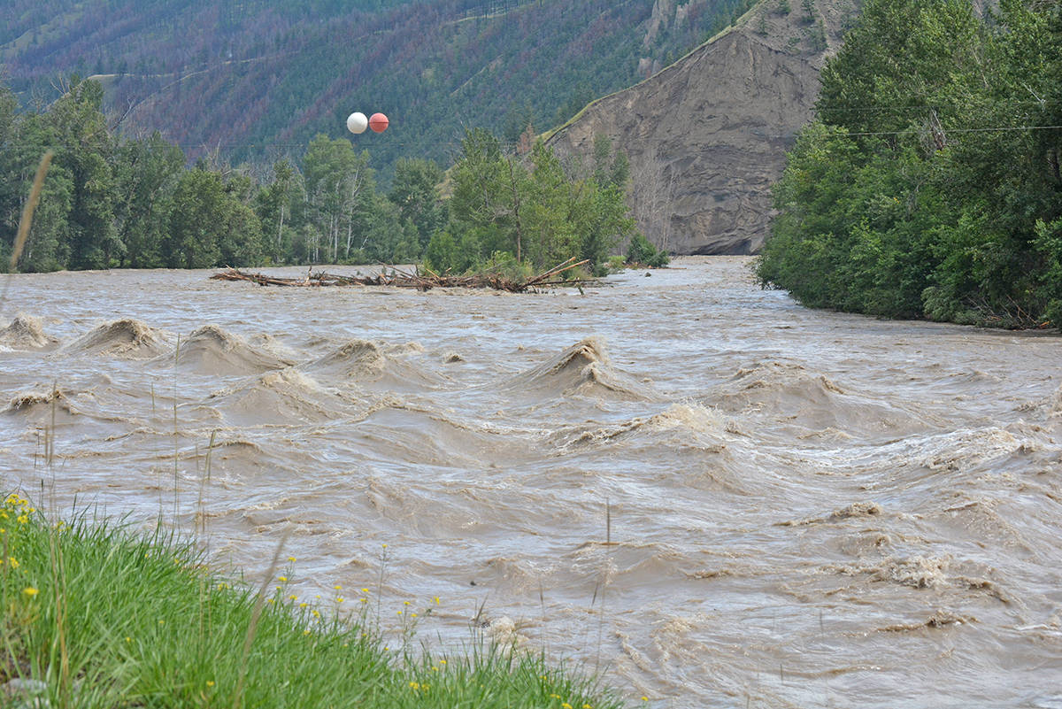
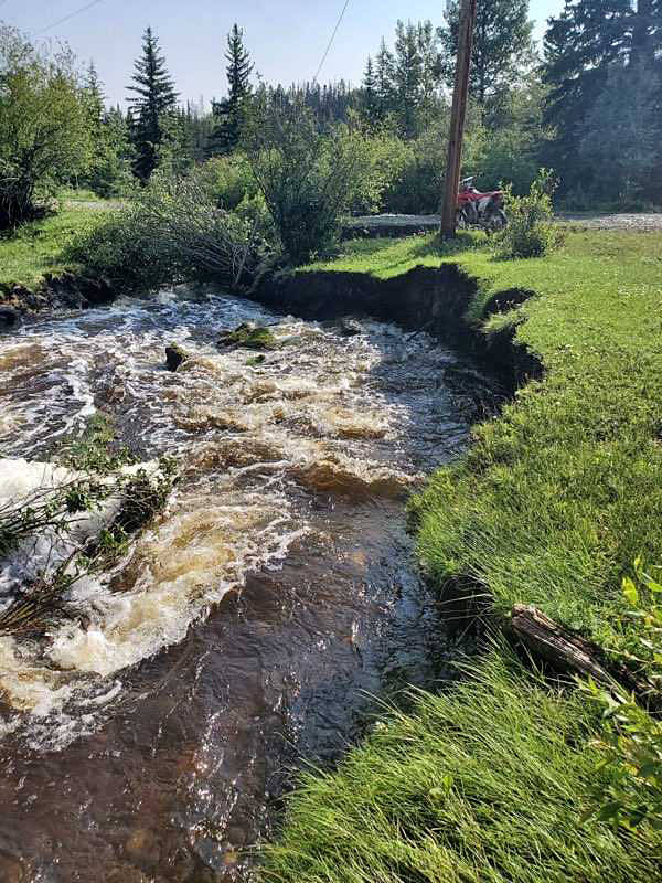
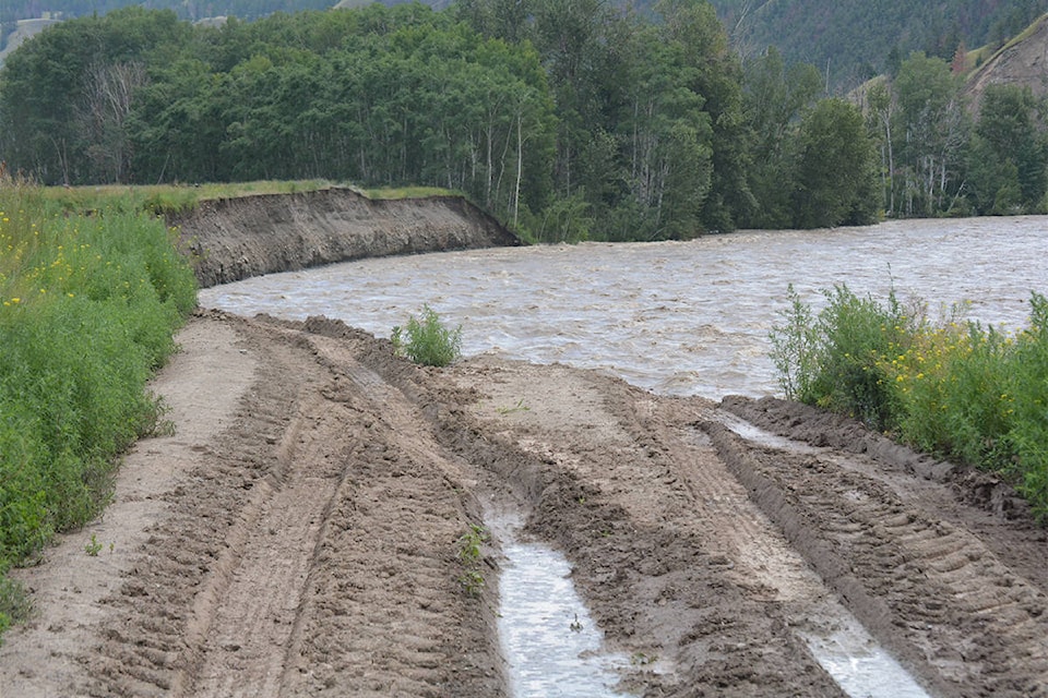
After more than 100 millimetres of rain fell in five days, and the Chilcotin River and its tributaries, including Big Creek, have overflowed causing washouts.
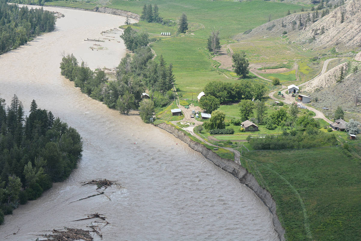
The B.C. River Forecast Centre’s latest estimate for the Chilcotin River as of Tuesday evening, was an estimated flow of 1090 cubic metres per second which is over the 200-year return period.
Here is an aerial view from Tuesday afternoon where Big Creek flows into the Chilcotin River at Riske Creek
Witte Road remains closed, approximately 65 km south of Alexis Creek, and the Gaspard Creek-Mons Creek Forest Service Road has washouts and remains closed.
Read more: VIDEO: Big Creek area access road washed out due to flooding
A Ministry of Transportation spokesperson confirmed late Tuesday that other roads closed are Farwell Canyon at the 54 km mark, Sky Ranch Road and Taseko Lake Road at Yunesit’in First Nation.
There are no detours available for any of these roads, except for the Farwell Canyon Road as of Wednesday afternoon, there is a detour via Big Creek Road.
The ministry is continuing to assist the Cariboo Regional District Emergency Operations Centre, while the ministry and Dawson Road Maintenance staff are monitoring water levels and are preparing to initiate repairs once water levels recede.
At this time, the ministry confirmed, there is no estimate on when the roads will be able to reopen.
The CRD in a bulletin issued Tuesday encouraged anyone who is experiencing flooding issues affecting homes and businesses to please call the public information line at 1-866-759-4977 between 8 a.m. and 4:30 p.m.
After hours, residents should call the CRD’s regular phone number at 1-800-665-1636 and press 5 to reach the after-hours emergency line.
“If access is cut-off due to flooding, please shelter in place, which means you should stay where you are and stay safe. Contact the CRD if you need assistance,” the bulletin noted.
People living near a river or stream are encouraged to take some precautions to reduce the risk associated with a flood, such as preparing personal emergency supply kits for home, car and work and plan for at least a three-day supply of food and water for each family member.
The CRD also gave the following tips:
Have a grab-and-go kit ready if you have to leave your home quickly
Keep important papers in watertight containers and have a record of your valuables in a safe place
If flooding is likely in your area, pay attention to the local media for information
Watch for warning signs: increase in height and intensity of water flows, mudslides, debris in creeks, colour changes in water or leaning trees
Know that banks of rivers and streams may be unstable and dangerous
Keep a safe distance away from fast flowing water, especially children
Teach your children about flood safety
Consider arrangements for your pets and any livestock
Find more information on flood preparedness, current freshet conditions and emergency updates at:
CRD Website: cariboord.ca/EOC
CRD Emergency Operations Facebook Page: facebook.com/CRDEmergencyOperations
Further information will be issued as it becomes available.
Please visit the CRD Emergency Operations Facebook page at facebook.com/CRDEmergencyOperations as well as the CRD website at cariboord.ca.
Residents are strongly encouraged to register for the Cariboo Chilcotin Emergency Notification System to receive a text, call or email regarding Evacuation Alerts and Orders or other emergency updates.
news@wltribune.com
Like us on Facebook and follow us on Twitter