The Ministry of Forests is rolling out new signage for areas in the Cariboo Chilcotin warning of landslide and flooding risks due to last summer’s wildfires.
At its regular meeting Friday, the Cariboo Regional District board previewed the new signs during a presentation made by Lindsey Wood, resource manager on behalf of the Cariboo-Chilcotin Natural Resource District.
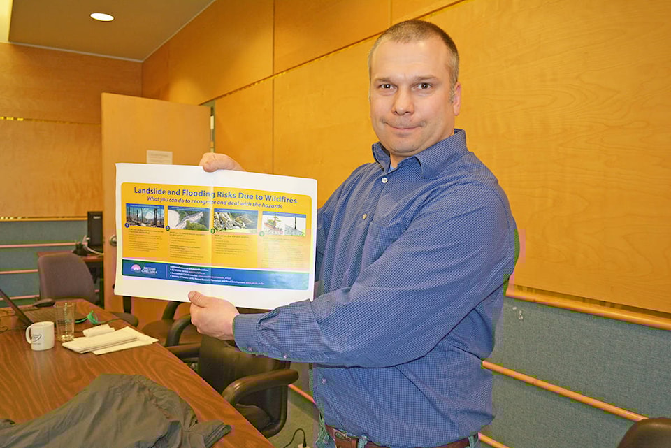
Implementing four photographs the news signs outline what people can do to recognize and deal with hazards.
“These will be posted in key spots throughout the region,” Wood told the board. “They will outline things people should be aware of if they are out in the wildfire areas if there are heavy rains or people are seeing mass movement of land that they need to let someone know and get out of the area.”
The new signs will go up on in areas such as the Horsefly Likely junction, West Coast Road, up on Bull Mountain, Beaver Valley Road, Spokin Lake Road, the Sheep Creek Bridge brake check, out toward Tatla Lake, and other spots near Quesnel and 100 Mile House area.
They will be placed in places where people can stop and read them so they aren’t just reading them as they drive by them, he added.
According to a brochure prepared by the province on landslide and flooding risks due to wildfires provided to the Tribune by Wood, B.C. has seen increased runoff after intense rainfall or a rapid snowmelt putting homes or other structures below burned areas at risk of localized floods and landslides, noting structures that are located below a recent wildfire and are near a creek, gully or alluvial fan are most at risk.
The pamphlet encourages the public to pay attention to weather forecasts that include thunderstorms or heavy rainfall warnings.
Read the pamphlet here.