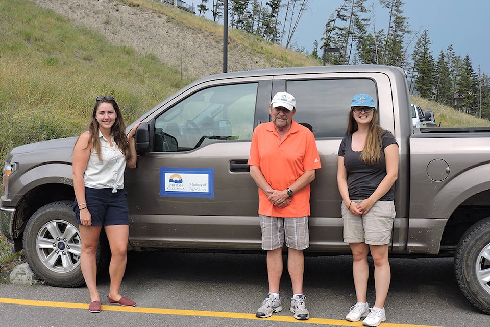
You may have noticed a light brown Ford F150 pickup truck with Ministry of Agriculture signs taped to the doors driving around the Cariboo over that last couple weeks.
Driving the pickup is a group of agrologists, who have been travelling around Electoral Area A (Red Bluff/Quesnel South), Electoral Area D (Commodore Heights/McLeese Lake) and Williams Lake since July 16.
The Ministry of Agriculture and the Partnership for Water Sustainability in B.C. have teamed up to complete an Agricultural Land Use Inventory (ALUI) and Water Demand Model for the Cariboo.
The agrologists in the truck are driving around to check if what they see in satellite imagery matches with what they see from the road. By taking inventory of the agricultural land use in the region, they can then determine how much water individual parcels of land or crops will need moving forward.
The ALUI determines the amount of actively farmed land in the region; provides researchers with a foundation they can use to monitor a past or future change in land use; and even assists in land use planning for both the local community and the Crown.
Following the agricultural inventory, the Water Demand Model helps define the potential impact of climate change on the region and identifies strategies to continue to meet water demand; allows researchers to look at water management alternatives while keeping an eye on potential future uses of the land; and provides data to inform future water storage projects.
READ MORE: North Cariboo Agricultural Development Advisory Committee elects new executive
For example, Nicole Pressey, the regional agrologist for the ministry, says, “Say today they see a bunch of fields growing alfalfa and a bunch cattle grazing. Based on what the crop is or what the animals are, they’ll say, ‘This is how much water that is needed for that parcel.’
“And the inventory will tell you how many hectares or acres are in that parcel, and then the demand model will tell you how much water that parcel will need, depending on those livestock or the crop.”
This means the researchers will be able to determine how much water the land currently requires to remain sustainable, and then allows them to calculate how much water it will need in the future, taking into consideration the potential affects of climate change and other variables.
Pressey says the ministry uses this data to inform the policies and programs they develop for water use, while also giving local governments the tools they need to create zoning bylaws, agricultural policies or other programs that support agriculture.
When the brown pickup is done in the Quesnel and Williams Lake areas, it will head down to 100 Mile House and Electoral Area L (Lone Butte/Interlakes) from August 13-31, to continue gathering data.
“It can seem a little bit dry at first,” Pressey says, “but it’s pretty exciting what the data can provide and help inform. It’ll be interesting to be able to share [the final report] when it’s ready for the public.”
heather.norman@quesnelobserver.com
Like us on Facebook