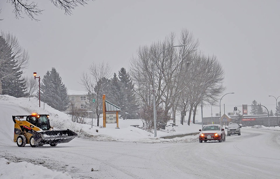
Residents were being greeted to another dusting of snow Saturday morning in Williams Lake.
One to three centimetres is predicted for today, before a ‘high impact’ storm is expected to make its way to B.C.’s Interior and, bringing with it, more extreme cold.
As temperatures currently hover around -6C, they are expected to drop to -16C overnight. Sunday and Monday, more cold is in the forecast with temperatures remaining chilly throughout both days and dropping to sub -20C overnight. Tuesday and throughout the rest of the week, temperatures are predicted to reach lows of around -10C.
READ MORE: Fresh snow overnight adds to slippery road conditions
No major incidents are currently (8:15 a.m. Saturday) being reported by DriveBC, however, they are advising motorists use caution as sections of black ice and compact snow with slippery sections are both to be expected on Highway 20 and Highway 97 heading north and south of Williams Lake.