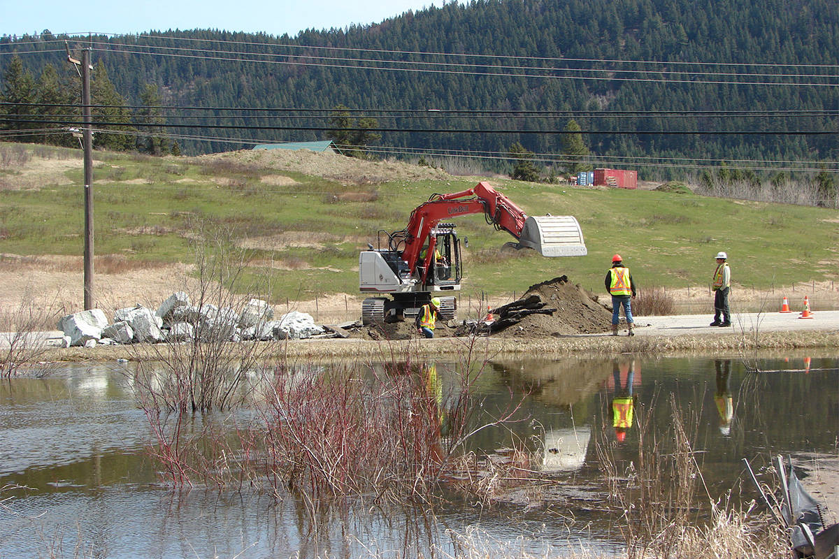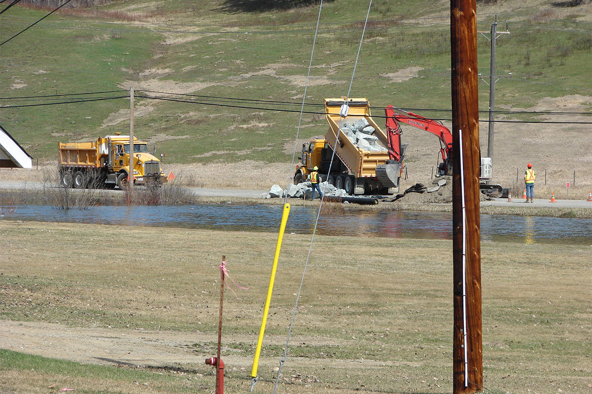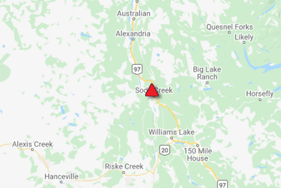
Crews are working to shore up Highway 97 south of McLeese Lake where flooding has impacted the roadway.
Drive BC notes to expect single lane alternating traffic with the next update expected to be provided at midnight.
Update:
Highway 97 is now single lane alternating at just south of McLeese Lake.
Original:
Highway 97 is closed 4.82 kilometres south of McLeese Lake due to a washout.
DriveBC is reporting detours are in place for commercial vehicles via Highway 16 and Highway 5.
Light passenger vehicles can detour through Robinson Road.
Hawks Creek is now spilling over the Likely Road at the nine kilometre mark resulting in the road being closed there.
Regan Marklinger shot this video earlier Friday morning and said at 1:30 p.m. that traffic control was on site.
Detours are in place via Likely Road or Highway 97 for that closure.
Another nearby road that is closed is Beaver Valley Road at the six kilometre and 24 kilometre points with flooding at Choate Creek. The detour for those travellers are through Likely Road or Horsefly Road.
Read more: Drive BC reacts to flooding with additional side-road closure updates
As of Friday, April 24 at 11 a.m. roads closed in the Central Cariboo include:
Gravel Creek Road
Mission Road – closed at the bridge and south of the bridge
Mile 108 Horsefly Road – washed out at the three kilometre mark at Moon Creek
Chilcotin-Newton Road
Redstone-Chezacut Road at km 40
Knoll Road
Huston Road – detour available by pilot vehicle
Mountain House Road – closed at Hawkes Creek Bridge
Alternate access through both ends of road
Spokin Lake Road
Walker Road
Mission Road – closed at the bridge and south of the bridge
Jacobson Road – closed at kilometre 10 due to a washout, with no alternate route
Pigeon Road – closed 100 metre west of bridge, with a detour available by pilot vehicle
Cave Road
Bells Lake Road – closed in three locations – at three km, 7.5 km and 10 km
Doyle Road
Bunting Lake
Valley Road (off Horsefly)
Anaham’s Meadow Road – at eight kilometre mark near Alexis Creek
Newton-Whitewater
On Thursday, the Ministry of Transportation and Infrastructure Cariboo District manager Todd Hubner said there were more than 100 sites impacted by flooding on roads in the region.
Read more: MOTI ‘triaging’ more than 100 road washouts in Cariboo region due to recent flooding
news@wltribune.com
Like us on Facebook and follow us on Twitter