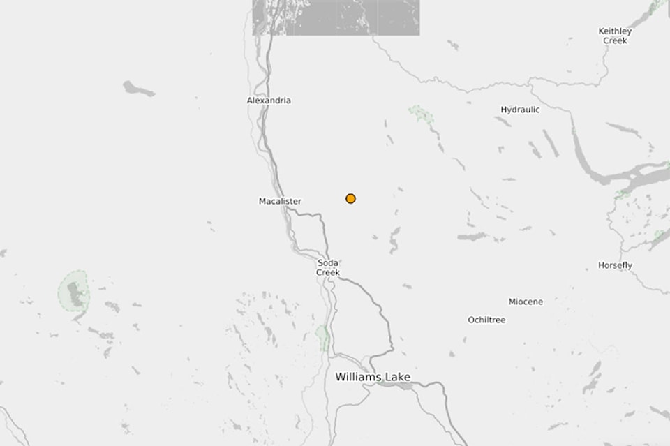
A mine blast registered as a 2.6 magnitude earthquake 34 kilometres north of Williams Lake east of Macalister on Sunday, April 25 at 5:30 p.m.
Natural Resource Canada seismologist Joseph Farrugia said he identified it as a blast coming from Gibraltar Mines.
“You are in an area where it is not uncommon to see earthquakes either, but this one I’ve flagged as a blast,” he told the Tribune Tuesday.
The Natural Resource Canada website showed the blast occurred at 12:30 a.m. UTC Monday, April 26.
“It was recorded in UTC time which is the time we report all of our events in to be consistent across the board. You have to subtract seven hours from that time to get local time here in B.C.” Farrugia said.
Mine blasts tend to look different than earthquakes on the seismic instruments, he explained.
“Our software wants to locate earthquakes at zero depth and earthquakes don’t tend to happen at surface so that’s also another indicator that it is most likely a mine blast.”
Farrugia has been with Natural Resource Canada for a year and a half and works in the Western Region in an office in Sidney, B.C. near Victoria.
He said it is always exciting to speak with people who have questions about earthquakes.
“It’s always fun,” he added.
Read more: 4.1 magnitude earthquake detected near Haida Gwaii
news@wltribune.com
Like us on Facebook and follow us on Twitter