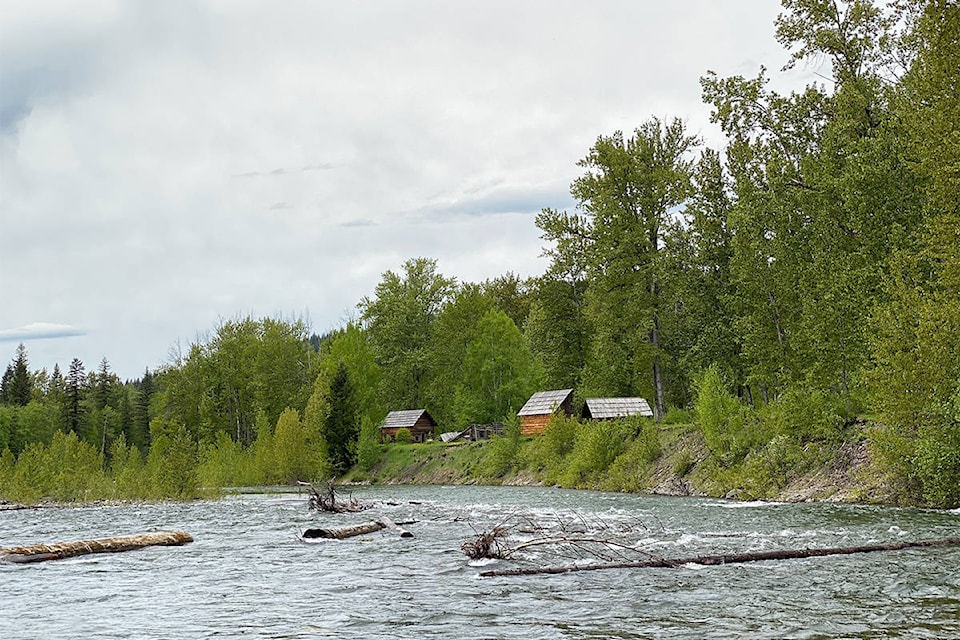
Flood watches have been issued for the Quesnel River, Horsefly River and the Cariboo including tributary rivers and streams near Williams Lake and Quesnel areas east, including the San Jose River and Bridge Creek.
Flows through the region have been rising in response to snowmelt and rainfall over the weekend and continued rises are expected through the early part of this week.
On the San Jose River and Bridge Creek, flows remain elevated from flooding earlier in the spring; flows are expected to remain elevated however significant rises are not expected on these rivers at this time, according to the BC River Forecast Centre.
Current conditions show the Horsefly River above Quesnel Lake is flowing at 195 m3/s, which is between two-year and five-year flows and rising.
Flows are expected to reach around 200 m3/s which will be a five-year flow rate through the early part of this week.
“High water is a common thing here and so very few properties are in the flood plain,” said Horsefly Volunteer Fire Dept. deputy chief Linda Bartsch.
High water could limit access to Horsefly Lake and the junction area of Quesnel Lake if it floods the road near the Horsefly Bridge, she added, noting there is a plan in place for alternate access.
“It’s also cool weather right now. It’s worse if it’s really warm because there is still lots of snow in the mountains,” Bartsch said.
Quesnel River near Quesnel is flowing at 1,010 m3/s which is a 10-year flow rate and rising.
Flows are expected to continue to rise through this week and may reach up to 1,150 m3/s which would be between a 20-year and 50-year flow rate.
Bowron River near Box Canyon is flowing at 600 m3/s or a 20-year flow and is near peak levels.
The public is advised to stay clear of the fast-flowing rivers and potentially unstable riverbanks during the high-stream flow period.
The River Forecast Centre continues to monitor the situation and provides updates as conditions warrant.
Sunshine is in the forecast for Wednesday through Friday, and return to days with a chance of a showers on the weekend.
news@wltribune.com
Like us on Facebook and follow us on Twitter