A series of wildfire risk-reduction projects will be completed in the Williams Lake area over the next two years in interface areas where urban development borders on grasslands or forested areas.
The Ministry of Forests, Lands, Natural Resource Operations and Rural Development will be directing this work. Areas with steep slopes, fuel hazards or weather patterns that could affect wildfire behaviour have been prioritized, as well as areas close to residences or critical infrastructure.
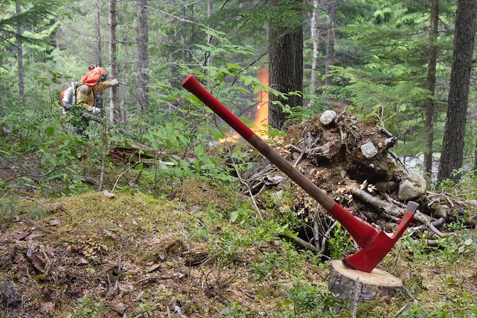
Preliminary fieldwork began in fall 2019 and treatments will continue periodically for the next two years. A primary goal of these projects is to reduce the size and intensity of any future wildfires in the Williams Lake area, which will make it easier for firefighters to defend the community.
These activities may include:
* removing hazardous trees and flammable shrubs;
* reducing accumulations of woody debris and other fuels on the forest floor;
* thinning forested areas; and
* pruning low-hanging tree branches to help stop flames from moving into the upper branches of trees.
About 1,200 hectares of interface land will be treated in total. Project areas include:
* South Lakeside neighbourhood
* Williams Lake River Valley
* Highway 97 South corridor from Broadway Avenue North to the White Road area
* Highway 97 North corridor near the Williams Lake Regional Airport
* Soda Creek Road and MacKenzie Avenue North area
* Fox Mountain, including the Centennial Drive, Eider Drive and Pheasant Drive areas
* west side of Dog Creek Road (south of Gibbon Road) and east side of Dog Creek Road (south of Gun A Noot Trail)
* Chimney Valley Road
* Horsefly Road and Spokin Lake Road junction (Dewar Lake area)
Many of these areas overlap the priority treatment areas identified in the Williams Lake and Area Community Wildfire Protection Plan, which was developed by multiple agencies, communities and First Nations. Ministry staff will continue to work closely with residents and First Nations as these projects get underway.
In addition to reducing wildfire risks to the community, these projects will improve the long-term health and resiliency of tree stands and enhance habitat for mule deer and other wildlife. Other factors, such as recreational use, riparian areas and cultural values, were considered during the planning of these projects.
The planned activities may temporarily limit public access to some trails in the areas being treated. The ministry will advise the public of any lengthy closures, should they be required.
Do you have a comment about this story? email:
editor@wltribune.com
Like us on Facebook and follow us on Twitter.