All the elements of winter reared their heads overnight Sunday, just as forecasted.
Wind chill, arctic cold temperatures and snowfall are expected to be the norm for several days, according to Environment Canada.
Currently -21C Sunday morning, an extreme cold warning has been issued by Environment Canada for Williams Lake and B.C.’s Interior.
“A period of very cold wind chills is expected,” the forecast states.
“Bitterly cold arctic air will remain entrenched over the area for several days. North winds combined with cold temperatures will create wind chill values near -40C.”
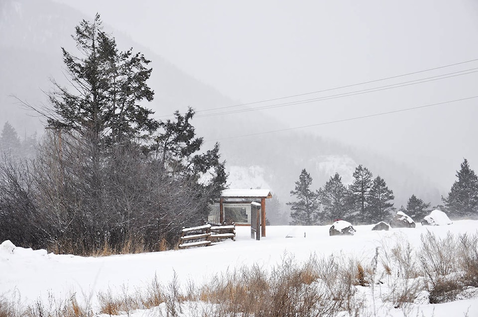
READ MORE: Williams Lake blanketed in fresh snowfall prior to deep freeze
Environment Canada warns extreme cold puts everyone at risk, and only issues extreme cold warnings when very cold temperatures or wind chill creates an elevated risk to health, such as frost bite and hypothermia, and warns frost bite can develop within minutes on exposed skin, especially in windy conditions.
Today’s high is expected to reach -19C, while lows of -32C, -34C, -32C and -31C are forecast for Monday, Tuesday, Wednesday and Thursday, respectively. Throughout, mostly a mix of sun and clouds is on the agenda.
Friday, temperatures will ‘warm’ up to highs of -21C, before reaching more tolerable levels by next Sunday with a high of -5C.
On major highways, DriveBC is reporting compact snow, limited visibility, blowing snow and slippery sections on both Highways 20 and 97.
Do you have a comment about this story? email:
editor@wltribune.com
Like us on Facebook and follow us on Twitter.