You could say they’re selling like hotcakes, but they’re free so there’s no selling involved.
Recently the Cariboo Regional District launched a historic driving tour guide and map.
They had 1,000 copies printed locally, but within a short period of time, most of the copies were gone.
As a result, the CRD approved an additional $1,000 for the CRD Heritage Committee to have another 1,000 copies printed.
Area F director Joan Sorley, chairs the heritage committee, and said the committee began brainstorming the brochure idea a year ago.
“It was one of our business plan goals,” Sorley said. “Enhancing awareness of historical sites around the Cariboo Regional District.”
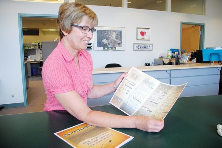
The brochure has six pages of information and a map.
People can explore the region in a circle tour, a day trip or a weekend trip.
“We wrote a little bit about the history as well as the services available at each place,” Sorley added.
Before the draft for the brochure was finalized, Sorley and her husband took a trip on Mother’s Day, covering a majority of the areas in the region.
They stopped at places like Stanley along Highway 26 en route to Wells and Alexandria along Highway 97.
“It was great. So many times I’m driving through to a meeting or something and never have the time to stop,” Sorley said.
The CRD’s heritage committee is made up of volunteers who worked with the CRD staff to produce the brochure by doing research and gathering photographs.
Copies of the brochure are available at the CRD and visitor information centres throughout the region.