The city of Williams Lake has South Lakeside in its sights for the next possible public-access waterfront development.
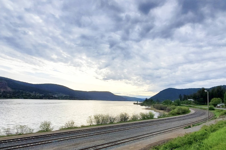
The city has launched a public survey seeking input on developing its waterfront enhancement plan, with a primary focus, initially, on the South Lakeside Trail for a waterfront plaza at its historic beach site which is located across and down the lake from Scout Island.
According to a news release issued by the city Wednesday, the conceptual waterfront plaza and boat launch will encompass roughly 2.5 acres and could be designed to be entirely accessible.
Other public amenities could include a boat launch, pedestrian plaza, concession stand, floating dock, kayak/canoe/paddle board rentals, day use areas, vehicle parking, food truck stalls and public washrooms, for example, noted the city.
Waterfront Enhancement Project
The waterfront enhancement project spans three areas including the RC Cotton lands and Scout Island, Mackenzie Avenue and the River Valley Trail connection and South Lakeside Trail.
The city’s parks, trails and outdoor recreation master plan identified Williams Lake as a destination for outdoor recreation, encouraging the expansion of activities to promote an active, healthy lifestyle and the enjoyment of parks, trails and recreation opportunities.
One of the key recommendations in the master plan included promoting the Williams Lake trail area network and developing and expanding public access points along the Williams Lake waterfront.
The purchase of the RC Cotton site in 2018, followed by the construction and opening of the Nekw7usem Bridge in 2021 connecting Scout Island to the RC Cotton Trail opened up opportunities for the city to develop a conceptual waterfront enhancement plan to guide public recreational opportunities along the lake.
The vision is to bolster public recreation amenities through a multi-phased project with a long-term goal of developing and connecting the RC Cotton lands, Scout Island, the Stampede Grounds/downtown, the river valley and the south shore of Williams Lake. The end result would be a new active transportation network within the city.
READ MORE: City of Williams Lake eyes further waterfront trail development plan
To that end, the city is encouraging community engagement on this multi-faceted project and survey and wants to hear residents’ feedback as it enters into early planning stages.
This will allow for better decision making and to satisfy a wide range of stakeholder, government agency, and community needs prior to implementation.
Public Survey
Through the survey, residents will have the opportunity to review the location and provide comments on what they would like to see in both proposed activity nodes.
Once completed, city staff will collect and track survey results for future design consideration and will communicate plans to the public.
The waterfront enhancement project public survey consists of 15 questions, and can be completed online at www.williamslake.ca/waterfrontsurvey or directly at www.surveymonkey.com/r/P886W8L.
Hard copies of the survey are also available at the Cariboo Memorial Recreation Complex and at city hall.
READ MORE: HAPHAZARD HISTORY: The Cariboo history of R.C. Cotton
For more information contact the city’s Planner, Rafid Shadman, by email at rshadman@williamslake.ca or by phone at 250-392-1769.
news@wltribune.com
Like us on Facebook and follow us on Twitter