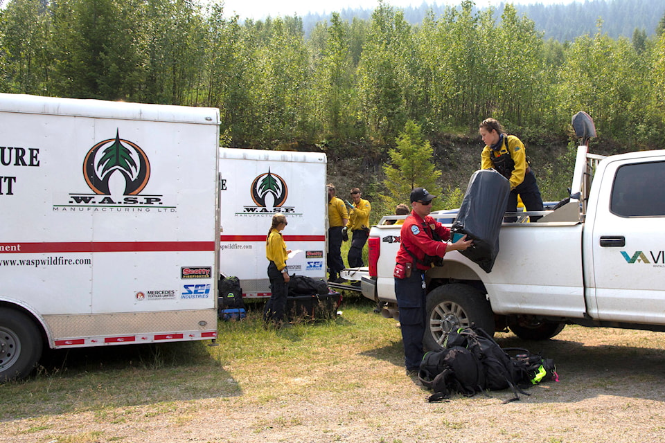
There are currently 43 active wildfires burning within the Cariboo Fire Centre.
Nine of those are wildfires of note, including Succour Lake, Flat Lake, and South of Canim Lake. Fire danger ranging in Chilcotin, Central, and 100 Mile Zones remain high to extreme. Here is the latest summary from the Cariboo Fire Centre:
South of Canim Lake: estimated at 2,487 hectares.
Crews will continue to work to establish a 10-foot blackline where the fire has burnt to the guard, and they will patrol areas that have been blacklined. Heavy equipment is working to finish the south guard. Crews are working to lay hose in the southwest and working along the edge of the gully.
The Cariboo Regional District has upgraded the existing evacuation alert to an evacuation order on the south side of Canim Lake. The north side remains on an evacuation alert.
Succour Lake: estimated at 1,600 hectares.
BC Wildfire Service will continue to monitor this fire and planning for possible guard construction is underway. The fire continues to have minimal growth but is putting up smoke that is visible from surrounding areas as it burns additional fuels in a nearby cut block.
There are natural wetlands, lakes and less volatile forest fuel features that provide containment on two sides as well as the Lang Lake Forest Service Road to the north. Planning for machine guard construction is underway that will use these natural features and provide additional containment. Structural protection equipment continues to be deployed for a nearby residence. This will be the last update as a wildfire of note.
The Cariboo Regional District has expanded the existing evacuation alerts on both the north and south sides of Canim Lake (See above).
Flat Lake: 26,191 hectares (as of July 20).
The Flat Lake wildfire is classified as “out of control.” Heavy equipment will be working Friday to gain access and establish indirect control lines on the east flank near Davis Lake working from Bullock Lake Road moving northwards to the Gustafsen guard. If conditions permit, ignitions are planned for a small area north of Davis Lake.
Crews will be mopping up in and around the residences in the vicinity of 83 Mile and Highway 97. Highway 97 remains open.
Crews will also be working north of Stormy Road to remove available fuels between the fire and the guard. On the north end, crews will be working to connect existing road systems in the vicinity of Gustafsen and Nielson Lakes.
There are 15 helicopters available to continue to action the fires within this complex with bucketing activities. Structural protection specialists continue to support the residences and properties on Bullock Lake Road.
There was moderate fire behavior with some growth in the south and southwest. With the expected weather forecast for the next few days, crews can safely conduct direct attack operations, according to BCWS.
On July 17, 2021, the Thompson Nicola Regional District upgraded an evacuation alert to an order for the Flat Lake Wildfire for Bonaparte Plateau in the vicinity of Gustafsen and Neilson Lakes. The additional evacuation alert issued by the Thompson Nicola Regional District remains in place. The evacuation order and alert issued by the Cariboo Regional District remain in place.
Chasm: 410 hectares.
Minimal fire activity was displayed Thursday. Crews are continuing to work around the north, south and east flank patrolling and mopping up. An ignition specialist is going to assess the fire for potential burn opportunities to remove unburned fuels between the fire perimeter and the containment lines. An evacuation alert has been issued by the Thompson-Nicola Regional District.
Young Lake: estimated at 2,631 hectares.
Minimal fire activity was displayed on this incident yesterday. Crews are continuing to work around the north, south and east flank patrolling and mopping up. An ignition specialist is going to assess the fire for potential burn opportunities to remove unburned fuels between the fire perimeter and the containment lines.
On July 21, the Thompson-Nicola Regional District (TNRD) expanded the Evacuation Order for a total of 103 properties. An additional 231 properties in the area remain on Evacuation Alert.
Purdy Lake: 8,000 hectares in size.
There has been no growth on the fire the past few days. Crews are patrolling and extinguishing hot spots along the southern flank of the fire. BCWS has made a recommendation to reduce the Evacuation Alert area to the Cariboo Regional District. BC Parks have been engaged regarding suppression in the Kluskoil park.
An evacuation alert has been issued by the Cariboo Regional District. This evacuation alert area now borders the evacuation order and evacuation alert issued by the Regional District of Bulkley-Nechako for the Grizzly Lake wildfire in the Prince George Fire Centre.
McKinley Lake: 1,834 hectares in size.
No significant growth occurred Thursday. Crews are continuing to work around the north, south and east side of the fire, patrolling and mopping up. An ignition specialist is going to assess the fire for potential burn opportunities to remove unburned fuels between the fire perimeter and the containment lines.
An Evacuation Alert issued by the Cariboo Regional District for Crooked Lake remains in effect.
Big Stick Lake: estimated at 7,271 hectares.
Sustained variable winds at 30 km/hr from the southwest and warm temperatures have led to continued fire wildfire activity on the fire, as well as burning interior pockets of fuel within the perimeter.
A fire guard has now been placed all around the perimeter of the fire by heavy equipment. Firefighters and bucketing helicopters are working to cool hotspots and reinforce the fireguards in critical areas around the fire, especially around the north flank of the fire and the east flank.
Firefighters are working to conduct a planned ignition on the northeast corner of the fire to secure the fireguard lines and are waiting for optimal conditions. Highway 20 remains open to Bella Coola, though road crews are on standby to close the highway as needed based on wildfire activity or operations.
Telus has completed assessments of the fibre optic lines and has contractors working to replace the poles that were compromised by previous wildfire growth.
An evacuation order is in effect for the Big Stick wildfire area. This order replaces the evacuation alert issued by the Cariboo Regional District on July 10. An evacuation alert issued by the Cariboo Regional District has been expanded and remains in effect for the Big Stick wildfire area.
Hotnarko Creek: estimated at 1,500 hectares. The fire has not crossed Highway 20 and demonstrated low-intensity fire behaviour yesterday. Road closures may occur to continue supporting ongoing operations and to maintain public safety. Check DriveBC for updates. Firefighters are working along the north and east flank to contain the fire perimeter, supported by heavy equipment. Operations personnel are planning to have an aerial heat scan to assess remaining hot spots close to the perimeter, and will allocate resources accordingly.
An Evacuation Alert is in effect for the Anahim Lake area.
Summary of other wildfires
Quesnel Fire Zone: There are six active wildfires burning in this zone, with two classified as under control and four out of control.
Central Cariboo Zone: There are 10 active wildfires burning in this zone. Three fires are under control and seven are out of control.
Chilcotin Zone: There are four active wildfires burning in this zone. One fire is now classified as under control and three are out of control.
newsroom@100milefreepress.net
Like us on Facebook and follow us on Twitter.