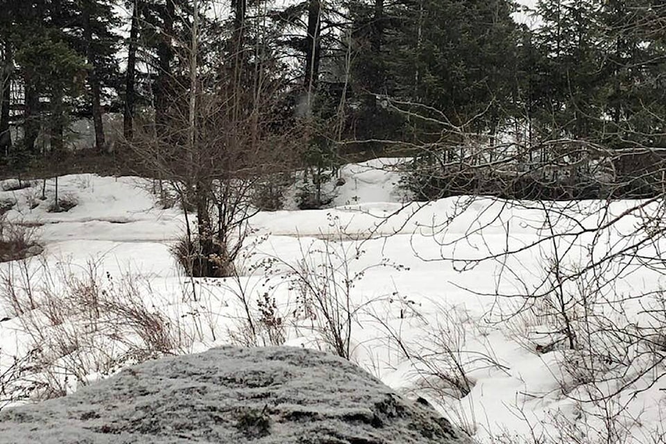
It’s the winter that just won’t end.
Cariboo residents woke up to light snow Wednesday morning and a temperature of -4C.
The snow is expected to taper off later in the day today, with a mix of sun and clouds and a daytime high of 3C in the forecast.
Environment Canada is calling for light snow every day for the rest of the week and below freezing nighttime temperatures until Sunday, April 8.
DriveBC is reporting compact snow with slushy sections on both the Horsefly and Likely Roads Wednesday morning, and compact ice on Highway 20 from Alexis Creek to Tatla Lake. No issues are being reported for Highway 97 in the Williams Lake area, however, DriveBC is warning of slippery sections north of Quesnel.
If you are one of the thousands of Cariboo Chilcotin residents longing for warmer, springtime temperatures, it looks as though the weather will take a turn for the better next week with double digits in the forecast and lots of sunshine beginning Monday, April 9 where the predicted daytime highs will reach 13C.