After periods of light snow followed by sun, some stability returns to the Williams Lake area this weekend.
Temperatures this morning hover around -7C with a windchill making this cloudy day feel more like -12C. Moving into the afternoon the cloud cover will break up and allow for partial sunlight with a high of -5C feeling like -10C.
After cooling down overnight temperatures will remain similar to today over the next few days with a high of -7C anticipated on a mainly sunny Sunday and -10C on a day with similar conditions on Monday. No snow is expected to fall throughout the weekend, breaking up the dump the lakecity experienced last week.
For those looking to travel south towards the Lower Mainland and Vancouver, however, know there are snowfall warnings across the South Coast this weekend, with a higher chance of avalanches then usual. An estimated 5 to 10 cm is expected to fall in some areas, though it seems this winter storm will be avoiding Williams Lake, for now.
Read More: Vancouver Island couple makes most of the snow, sleeps in backyard igloo
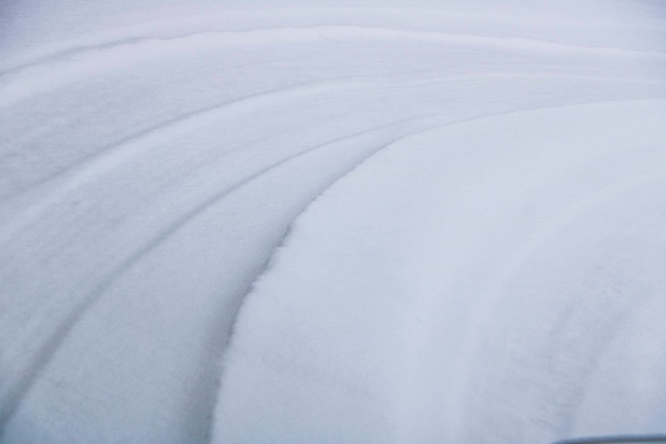
Due to the last week’s snowfall and warmth, compact snow and slippery sections are to be expected across Highway 20. This is true from Bella Coola to Alexis Creek from the start of Highway 20 to Strum Lake Road for 343 km.
Approaching Williams Lake this is no different with compact snow and slippery sections reported between a 64 km stretch between Graham Street and Cotton Road. Also along Highway 20 compact snow and falling snow is expected between Stack Valley Road and Highway 97 for 47 km, with limited visibility.