Warmer temperatures than normal are forecasted for the Cariboo-Chilcotin region from now until July, according to Environment Canada meteorologist Andre Besson.
“That’s the seasonal outlook,” said Besson, who is responsible for the Northern B.C. and Yukon region. Besson was in Williams Lake to participate in an emergency response planning session with local stakeholders Wednesday.
A seasonal outlook doesn’t capture extremes, day-to-day events, late snow in the season, or rapid snow melt, instead it’s more about trends, he explained during an interview Thursday morning.
“For example in the fall we had temperatures warmer than normal on average each and every month.”
Those temperatures have resulted because of a weak El Nino during the winter, but more importantly, a very strong positive Pacific Decadal Oscillation (PDO), Besson said.
The PDO, which measures the temperature of the sea surface, is higher than it’s been in 115 years.
“That’s really the story of what happened,” Besson explained, adding it’s also caused most of the province to experience warmer temperatures than normal during the winter.
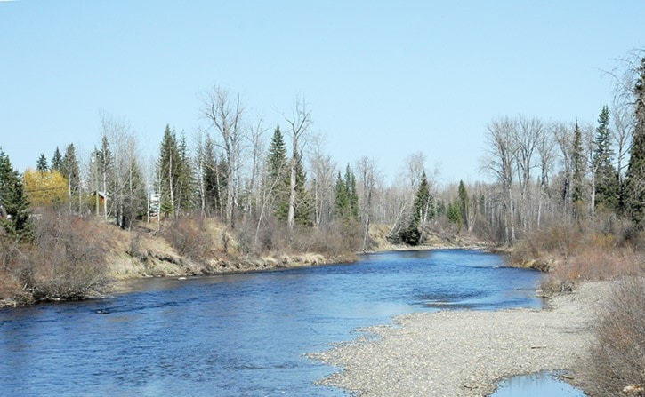
Most of the precipitation that fell, instead of being snow, was rain so most snowpacks in the province are slightly or well below normal, especially in the southwest part of B.C.
Environment Canada normally issues rainfall warnings if more than 50 mm of rain falls in 24 hours.
But during the freshet season, now through June, in areas such Prince George, the Bulkley Valley and the Chilcotin, the warnings will come for 25 mm of rain in 24 hours because those areas are more sensitive to rainfall due to high snowpacks.
“But it’s not just the 25 mm threshold that can cause impacts. The precipitation rate is also important,” he said. “Anything above 10 mm an hour will most likely cause local flooding.”
As for the next week, Besson said we can expect a drier trend through the weekend and into next Wednesday.