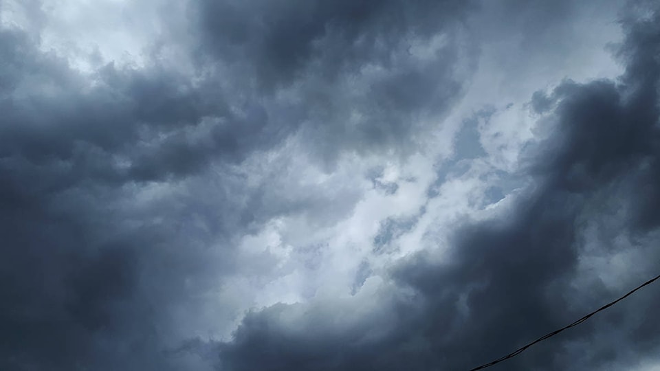
As promised a low pressure system is moving through B.C.s interior this afternoon bringing unsettled weather conditions. By Thursday afternoon black clouds were gaterhing and the rain had beun to fall.
Earlier in the day, Environment Canada said thunderstorms will develop ahead of the front, warning some of the thunderstorms have the potential to become severe this afternoon and may be capable of producing strong wind gusts, large hail and heavy rain.
Large hail can damage property and cause injury.
Strong wind gusts can toss loose objects, damage weak buildings, break branches off trees and overturn large vehicles. Intense lightning is likely with any thunderstorm that develops.
Remember, severe thunderstorms can produce tornadoes. Heavy downpours are likely to cause flash floods and water pooling on roads.
Severe thunderstorm watches are issued when atmospheric conditions are favourable for the development of thunderstorms that could produce one or more of the following: large hail, damaging winds, torrential rainfall.
Please continue to monitor alerts and forecasts issued by Environment Canada. To report severe weather, send an email to ec.tempetepacifique-pacificstorm.ec@canada.ca or tweet reports using #BCStorm.
